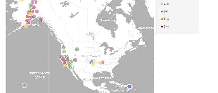
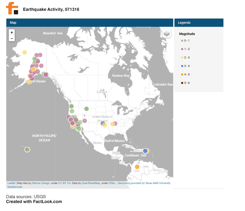
The USGS maintains a real-time database of earthquake activity across the world. We pulled data for Wednesday, July 13 and used FactLook‘s geocoding feature to plot the location and magnitude of the nearly 230 recorded earthquakes for that day.
Here’s a look at the map of earthquake activity in the US on July 13, 2016.
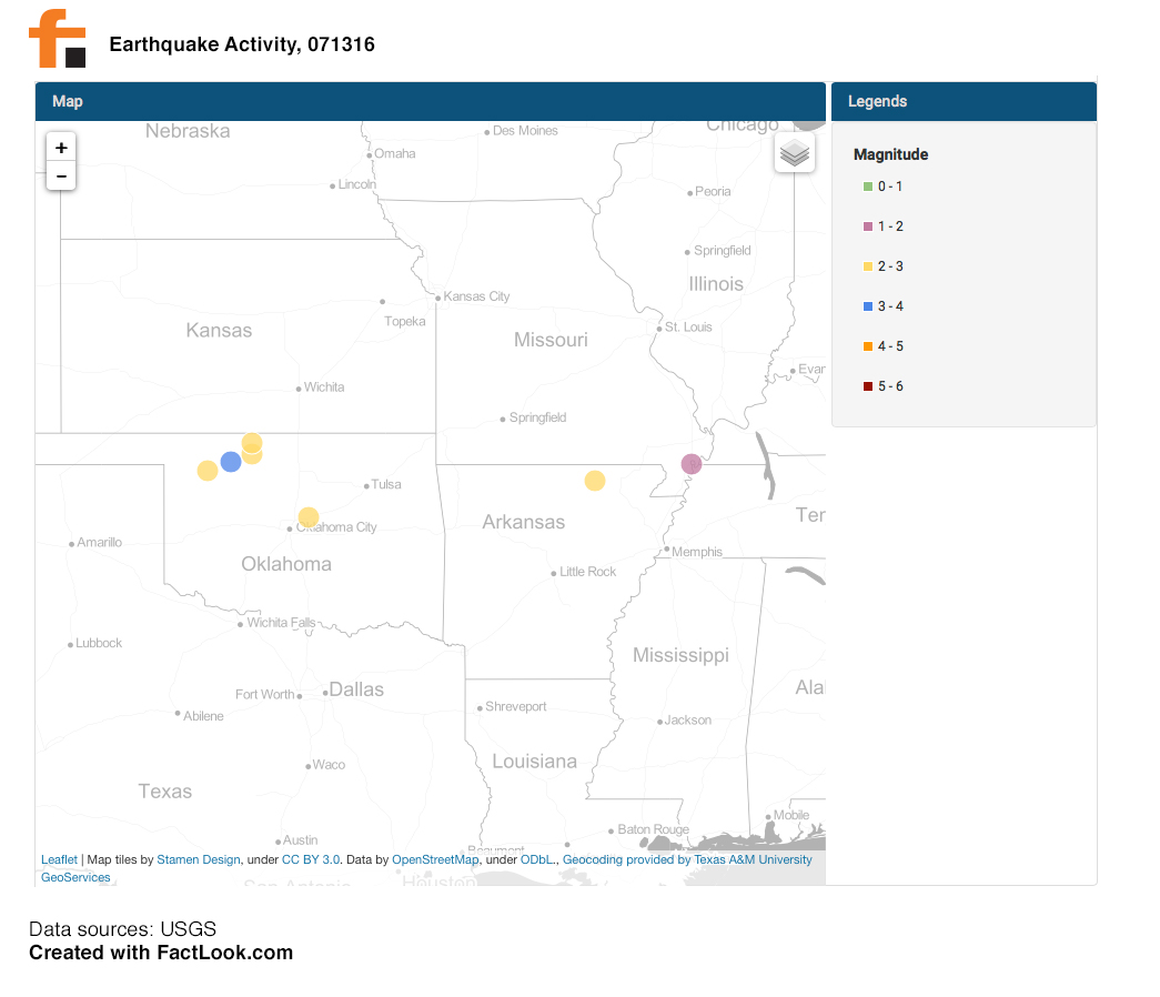
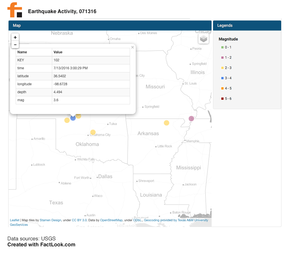
One of the strongest quakes occurred in north central Oklahoma.
Clicking on the location of that quake within FactLook shows it occurred at 3:00 in the afternoon and measured 3.6 in magnitude.
Here’s a video showing how we used FactLook to create this visualization. It took us just over a minute and a half to take the raw spreadsheet data, import it into FactLook, and adjust breaks and colors.