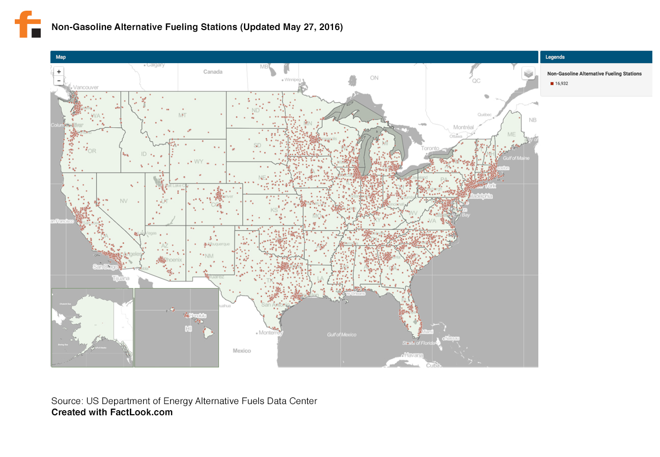
The US Department of Energy Alternative Fuels Data Center maintains a database of non-gasoline fueling stations where vehicles that run on biodiesel, CNG, electric, ethanol, hydrogen, LNG, and/or propane can fill up. The database is meant to assist individuals and vehicle fleet managers and drivers develop strategies for conserving fuel.
We used FactLook to pin the more than 16,000 alternative fueling stations to a map of the US using latitude/longitude coordinates. Perhaps as interesting as where the stations are most concentrated (North Carolina, Chicago-area) is where they are not (central Virginia, southeast Georgia).
Click on map image to view larger.